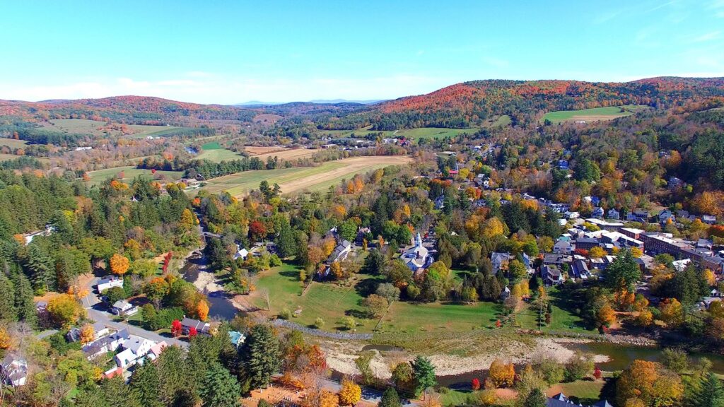
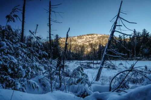
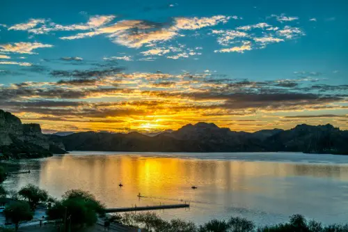
1. White Mountain National Forest, New Hampshire
This rugged expanse in New Hampshire is as beautiful as it is treacherous, according to Matt Schooley from CBS News. The Presidential Range, especially Mount Washington, is notorious for fast-changing weather that can catch even experienced hikers off guard. Visibility can drop to near zero within minutes, and the rocky, uneven trails don’t make it easy to turn back. Search and rescue teams here respond to dozens of calls each year—many from people who underestimated the terrain or overestimated their skills.
Even in summer, hikers have succumbed to hypothermia after getting disoriented in fog or rain. It’s also common for folks to get lost after straying from cairns or poorly marked intersections. The Appalachian Trail crosses this forest, attracting thousands of thru-hikers and day-trippers who might not be prepared. If you go, keep your map handy, and don’t let the Instagram views lull you into complacency.
2. San Bernardino National Forest, California
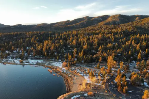
This Southern California forest is vast and varied, stretching from desert to alpine. But that range in terrain also creates a confusing landscape—one that’s easy to get turned around in, Tony Shin from NBC shares, especially for day hikers near Big Bear Lake. The forest gets a high volume of search and rescue operations, particularly around Mount San Gorgonio and the Pacific Crest Trail segments. Some missing hiker cases here have remained unsolved for years.
Dry conditions also mean water sources can be scarce or misleading, causing hikers to veer off course in search of hydration. Cell service is spotty at best, making GPS trackers and physical maps critical. Add in elevation gain, sudden snow in winter months, and wildfires that reroute or erase trails, and it’s no wonder people get lost. It’s a reminder that even sunny SoCal has serious wilderness risks.
3. Shasta-Trinity National Forest, California
This is the largest national forest in California, and with that size comes plenty of room to lose your way, according to Sarah Scoles from WIRED. Mount Shasta dominates the skyline here, drawing climbers and spiritual seekers—but also posing significant navigation challenges. The area is remote, cell signals are rare, and many trailheads start off forest roads that GPS apps don’t recognize. When people go missing here, it often takes days of search and rescue to locate them.
Some trails are faint or unmaintained, especially in the Trinity Alps Wilderness. Snow can linger into late spring, covering up trail markers and making orientation nearly impossible. Others have gotten lost due to misleading social media directions or confusing alternate routes around the mountain. If you’re headed here, pre-download maps and let someone know your itinerary—seriously.
4. Olympic National Forest, Washington
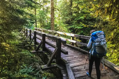
The Olympic Peninsula is one of the most lush, wild, and remote regions in the lower 48. But that beauty comes with dense rainforest, foggy trails, and rapidly changing weather that make staying found a real challenge, according to Jessica D’Onofrio from ABC 7. Hikers can easily wander off trail in the Hoh Rainforest or around Mount Ellinor without realizing they’ve taken a wrong turn. Each year, SAR teams respond to dozens of rescues—some requiring helicopters.
One big issue? The moss-covered trails and signage can blend right into the forest, and GPS sometimes fails under the thick canopy. Add in steep terrain, slippery conditions, and limited road access, and you’ve got a recipe for people going missing for hours—or days. You’ve got to respect the wilderness here, no matter how magical it looks.
5. Pisgah National Forest, North Carolina
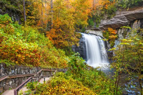
Located in the Appalachian Mountains of western North Carolina, Pisgah is known for waterfalls, rhododendron tunnels, and seriously tangled trail networks. One wrong turn on the Art Loeb Trail or near Looking Glass Rock, and you could be wandering for hours. SAR crews in this region are frequently called in to help folks who started on a day hike and ended up overnighting unexpectedly. It’s not unusual for the trail maps at trailheads to be different from what you downloaded.
Trails intersect frequently without clear signage, and conditions can be muddy or overgrown, obscuring trail features. Even experienced hikers sometimes misjudge the elevation gain or veer off to find a viewpoint, then can’t retrace their steps. The dense tree cover doesn’t help with GPS accuracy either. It’s beautiful country, but bring your compass and don’t rely on your phone alone.
6. Tongass National Forest, Alaska
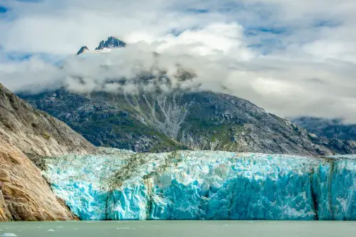
Welcome to the largest national forest in the U.S.—and also one of the wildest. Covering much of southeastern Alaska, Tongass is home to dense rainforest, massive glaciers, and rugged coastlines that are stunning but extremely hard to navigate. Visibility is often limited due to rain, fog, and overgrowth, and trail systems can be confusing or nonexistent. People regularly get turned around even just a few miles from towns like Juneau or Ketchikan.
Weather can trap hikers unexpectedly, and trail markers are few and far between. Some visitors follow wildlife paths thinking they’re trails, only to end up completely disoriented. Given the vastness and isolation of the region, rescue operations can take a long time to mobilize. It’s one of the last frontiers—treat it with that level of respect.
7. Gifford Pinchot National Forest, Washington
This forest surrounds Mount St. Helens and includes some of the most geologically unique landscapes in the country. But those lava tubes, ash plains, and craggy ridges can be deeply disorienting. Trails can vanish or become hard to follow around the blast zone, especially in areas like the Loowit Trail. Hikers have gotten lost by misjudging distances or underestimating how long it takes to cross unstable ground.
Even experienced backpackers have struggled with the terrain’s unpredictable features. There are long stretches without water, which can drive people to make risky route changes. Weather in the Cascades can shift quickly, adding fog and wind into the mix. Navigation here is not for beginners—bring a map, a compass, and a backup plan.
8. Adirondack Forest Preserve, New York
This isn’t just one forest—it’s a sprawling network of wilderness areas in northern New York, covering six million acres. The High Peaks Region in particular sees a high number of lost hiker cases, thanks to unmarked paths, confusing junctions, and rough terrain. Even though it’s relatively close to urban centers, the trails here are remote and wild. Snow and ice often linger into spring, and sudden storms aren’t uncommon.
Many people underestimate the difficulty of popular peaks like Mount Marcy or Algonquin. Poor cell reception and thick woods make GPS unreliable. Rescue teams in the Adirondacks average hundreds of calls a year, many due to simple navigational errors. Don’t let the East Coast setting fool you—this place is serious wilderness.
9. Angeles National Forest, California
Despite being practically in L.A.’s backyard, Angeles National Forest has a shockingly high number of lost hiker incidents. It’s a favorite for day hikers and fitness seekers, especially around Mount Baldy, but that accessibility masks how tough the trails can be. Sudden weather changes, dehydration, and slipping off poorly maintained trails are common issues. There have been multiple high-profile disappearances in recent years.
One major factor? People often underestimate how quickly you can get disoriented when trails aren’t clearly marked or intersect at odd angles. And because it feels “close to the city,” a lot of folks go in unprepared—no gear, no map, no plan. It’s wild how remote it can feel once you’re in the canyon or on a ridge.
10. Great Smoky Mountains National Park, Tennessee/North Carolina
Okay, technically this is a national park, not a forest, but it borders multiple national forests and earns its spot here. The Smokies have one of the highest numbers of search and rescue operations in the country. With over 800 miles of trails, thick underbrush, and frequent fog, it’s easy to see why. The case of Dennis Martin, a young boy who vanished here in 1969, is still one of the most chilling missing persons stories in U.S. hiking history.
Popular trails like Alum Cave Bluff or Chimney Tops can lure hikers off-route with unofficial side paths or wildlife tracks. Sometimes folks just lose the trail due to roots, erosion, or overgrowth. Then there’s the weather—sudden thunderstorms, high humidity, and early nightfall all add layers of risk. Even seasoned hikers need to double-check their bearings out here.
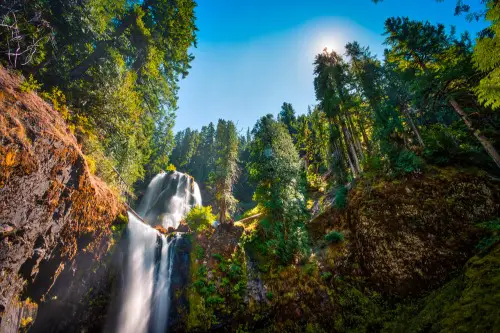
11. Deschutes National Forest, Oregon
Centered around Bend, Oregon, this forest includes everything from alpine lakes to volcanic buttes. But a common issue here is hikers misjudging distances, especially on trails near the Three Sisters Wilderness or Mount Bachelor. Summer wildfires also frequently close and reroute trails without much warning, making navigation tricky even with a good map. Many rescues stem from people trying to push farther than planned.
The dry climate can also lead to dehydration, which fogs your mental clarity and decision-making. Some trails wind through lava fields or high desert terrain that looks eerily similar for miles. Combine that with a sudden loss of daylight, and things get confusing fast. Always carry extra water, a light source, and an exit strategy.
12. Tonto National Forest, Arizona
This massive forest near Phoenix includes everything from desert canyons to ponderosa pine highlands. The Superstition Wilderness, in particular, is infamous for disorienting even the most experienced hikers. Between intense heat, limited water, and poorly marked trails, people regularly go missing here. The legend of the Lost Dutchman Mine doesn’t help—some still wander off searching for it.
Rocky trails often look like dry creek beds, making it easy to lose your path. The summer sun can push temperatures over 110°F, quickly turning a hike into a survival situation. SAR teams deal with a lot of heatstroke, dehydration, and simple directional mistakes. It’s a gorgeous place, but it does not mess around.
13. Bridger-Teton National Forest, Wyoming
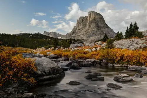
Bordering Grand Teton and Yellowstone, this forest draws outdoor lovers from around the world—but it’s as wild as it gets. With steep elevation changes, remote trails, and grizzly territory, getting lost here can be more than inconvenient—it can be dangerous. The Wind River Range is particularly notorious, with trails that cross scree fields and snow-covered passes even in late summer. And storms can roll in fast.
Several hikers have disappeared in this region, including experienced backcountry travelers. Some trailheads are hours from cell reception, and many paths intersect with no clear markings. Even small navigation mistakes can take you miles off course. If you’re heading into this forest, plan like it’s a true expedition—because it is.