1. Washington, D.C. – A Capital Built to Impress (and Intimidate)

Washington, D.C. wasn’t just designed as a place to govern—it was meant to project power. Pierre L’Enfant’s 1791 plan used grand boulevards and sweeping vistas modeled after European capitals to create a sense of authority and order, according to Kenneth R. Fletcher from Smithsonian Magazine. The layout intentionally separates branches of government, subtly reinforcing the concept of checks and balances. But let’s be real: those massive neoclassical buildings weren’t just for function—they were for flexing.
The wide avenues also allowed for military parades and easy troop movement, just in case citizens ever got too feisty. Even the Capitol’s position on a hill was strategic, symbolizing the elevated nature of democratic ideals (and control). The whole city’s geometry, including its many circles and triangles, has long sparked theories about Masonic influence. Whether that’s true or not, D.C. was definitely built with more than traffic flow in mind.
2. Salt Lake City, Utah – Gridded by God
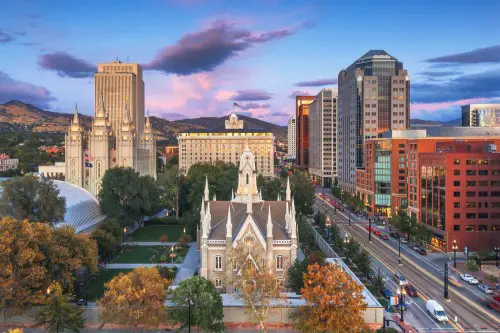
Salt Lake City didn’t grow organically like many other American towns—it was planned by the Mormon Church from day one, according to Scott Beyer from Forbes. When Brigham Young and his followers arrived in 1847, they designed a strict grid system centered around the Salt Lake Temple. Everything radiates from that spiritual hub, and property lines were allocated based on religious status and community roles. In other words, your lot size could reflect your place in the kingdom.
This wasn’t just practical; it was theological. The city layout was a physical manifestation of Mormon values—order, unity, and divine hierarchy. Streets were made absurdly wide so ox-drawn wagons could do U-turns, sure, but also to symbolize abundance and preparedness. The grid quietly kept everyone in their spiritual lane.
3. Chicago, Illinois – Rebuilt for Capitalism
After the Great Fire of 1871, Chicago didn’t just rebuild—it rebranded. City planners and industrialists saw a chance to reshape it into a gleaming emblem of modern capitalism, according to Mary Schons from National Geographic. The grid system was tightened, the downtown core became hyper-functional, and zoning laws were used to segregate factories from residential areas—on paper, at least. But the kicker? Rail lines were woven into the city like arteries, designed for commerce more than commuting.
Behind the grid was an unspoken agenda: efficiency over equity. Wealthier districts were kept west of the lake breezes, while poorer communities were shunted toward industrial zones. It’s no coincidence that Chicago became a launchpad for skyscrapers—it was meant to symbolize upward mobility, even if only for a few. The city was engineered to be a machine, and you were either running it or getting run over.
4. Los Alamos, New Mexico – The Secret City
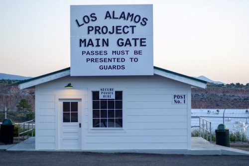
You weren’t supposed to know Los Alamos even existed in the 1940s. That’s because it was created specifically for the Manhattan Project, the U.S. government’s ultra-classified nuclear weapon research program, according to Jennie Rothenberg Gritz from Smithsonian Magazine. Designed in isolation on a remote mesa, it was a city with no address—literally. The goal was clear: secrecy above all else.
Scientists and their families lived there under fake names, their mail rerouted through a P.O. box in Santa Fe. The city had everything—schools, churches, even a movie theater—but you couldn’t talk about your job, even at home. It was an engineered illusion of normalcy, built to support a very abnormal mission. When people say “built with a hidden agenda,” this one’s not even metaphorical.
5. Atlanta, Georgia – Dividing Lines by Design
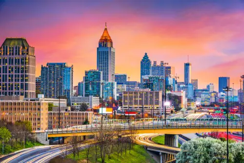
Atlanta’s growth has always been entangled with race and infrastructure, and that’s no accident. Planners deliberately used highways and railroads to carve out racial boundaries in the mid-20th century, according to Kevin M. Kruse from The New York Times. Interstate 20, for instance, was built straight through Black communities, reinforcing segregation and limiting mobility. This wasn’t just unfortunate planning—it was purposeful.
Urban renewal projects were often code for displacement, and Black residents bore the brunt. Affluent neighborhoods got parks and amenities; others got bulldozed or boxed in. The layout continues to shape economic opportunity and social mobility today. Atlanta may sell itself as a cultural melting pot, but its map tells another story.
6. San Francisco, California – A City Engineered for Real Estate
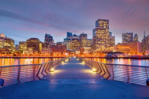
San Francisco’s hills weren’t just left there by nature—they were kept to manipulate property values. Unlike other cities that flattened terrain to expand evenly, developers here used elevation to create scarcity. Views became a commodity, and the grid was slapped over impossible inclines with little concern for practicality. Walk a few blocks and you’ll feel it in your calves.
The result? The rich went uphill, the poor downhill—literally. Zoning laws and height restrictions were introduced with coded language meant to preserve “neighborhood character,” often at the expense of diversity. Behind the city’s charm lies a long game of real estate chess.
7. Detroit, Michigan – Designed to Keep You Moving (and Apart)
Detroit was once a model of modern planning—but with strings attached. The city’s roads and neighborhoods were laid out to support the auto industry, not the people living there. Wide boulevards and the infamous “spoke-and-hub” layout made it easy to commute… if you had a car. Public transit? Not a priority.
Highways also served another purpose: slicing through Black neighborhoods to force relocation and reinforce segregation. The result was a city physically divided by design. Even green spaces and schools were strategically placed to maintain social boundaries. Detroit was built for mobility, but not for inclusion.
8. Philadelphia, Pennsylvania – Utopia with a Side of Surveillance
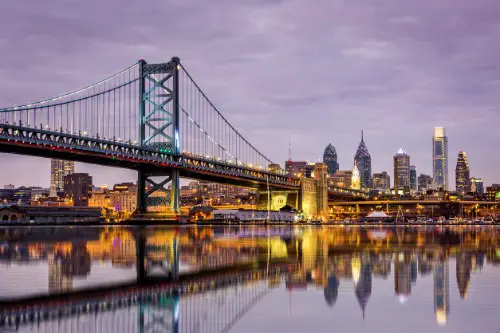
William Penn envisioned Philly as a “greene country towne,” where wide streets and public squares would prevent fires and disease. Sounds wholesome, right? But those same features also made it easier for authorities to maintain order and keep watch. The regular grid and open spaces were early tools of surveillance.
Penn’s Quaker roots influenced a kind of social engineering—his design aimed to promote morality and discourage rebellion. Streets were named after trees and virtues to remind citizens how to behave. The city layout quietly encouraged conformity while allowing easy crowd control if needed. Philly wasn’t just planned—it was preached into existence.
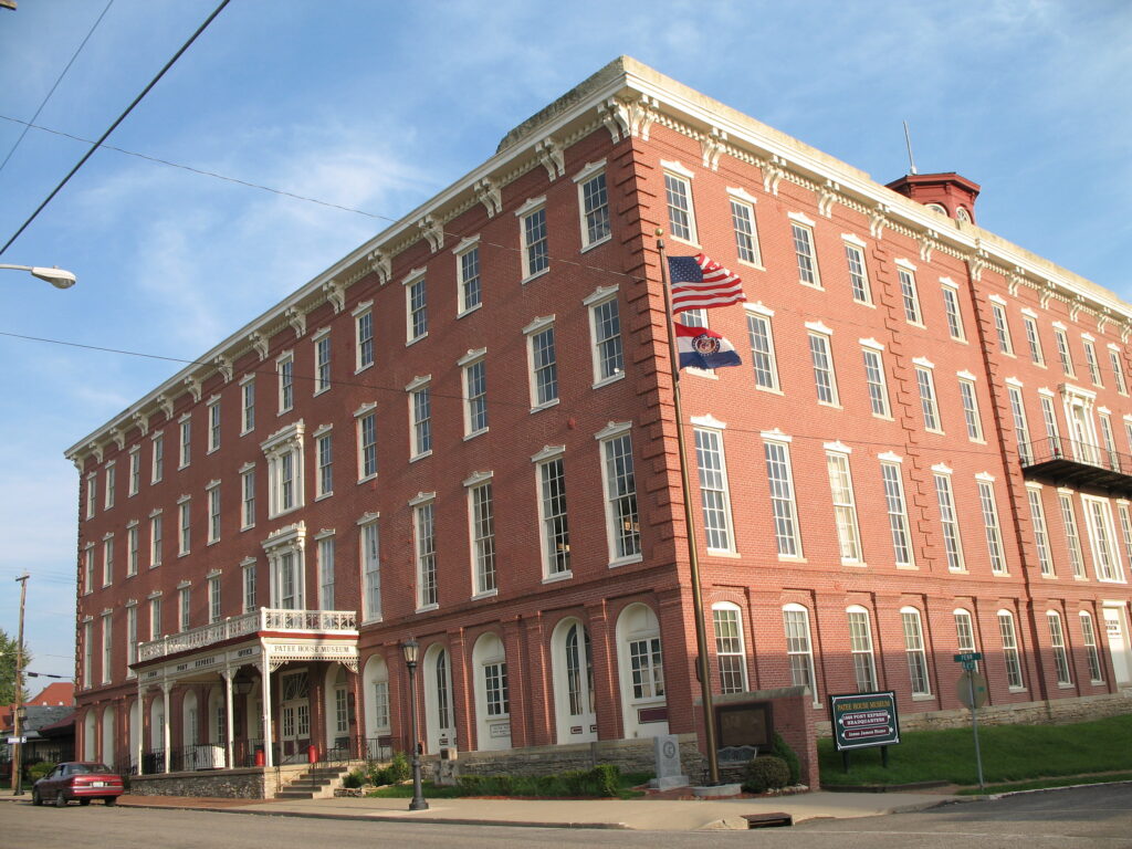
9. St. Louis, Missouri – A Gateway Built to Gatekeep
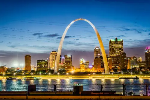
St. Louis bills itself as the “Gateway to the West,” but that gateway was always selectively opened. The city’s design—including the positioning of rail lines, highways, and industrial zones—was deeply influenced by racial and economic agendas. The infamous Pruitt-Igoe housing project was plopped into a segregated zone with minimal services, almost setting it up to fail. Its demolition became a symbol of broken urban planning.
Meanwhile, Forest Park and the Central West End thrived, buffered by barriers both physical and social. Zoning laws and annexation strategies were used to isolate wealth and contain poverty. The city’s shrinking footprint reflects decades of disinvestment in marginalized communities. St. Louis wasn’t just divided—it was engineered that way.
10. Denver, Colorado – Built to Keep the Boom Going
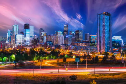
Denver’s layout was heavily influenced by gold rush economics. The original streets were misaligned with compass directions because they followed the orientation of Cherry Creek and the South Platte River—where gold was found. As the city grew, newer sections adopted a grid, but that left Denver with two mismatched systems that confuse newcomers to this day. It was an early example of function over form.
The design encouraged land speculation, with plots carved up to flip for quick profit. This legacy still shapes how development happens—rapid, speculative, and often inequitable. Highways later reinforced divisions between neighborhoods, prioritizing growth over cohesion. Denver’s design has always been about chasing opportunity, not sustaining community.
11. New Orleans, Louisiana – Geography Meets Control

New Orleans had no choice but to be strategic—it was surrounded by water and swamp. But beyond the necessity, its crescent shape and levee-based layout were also used to control population movement and protect wealthier areas. Poorer, often Black communities were pushed into lower-lying zones more prone to flooding. That wasn’t just unfortunate—it was institutional.
The layout reinforced a racial caste system embedded in real estate and public works. After Katrina, it became clear how those early planning decisions had deadly consequences. Some neighborhoods were rebuilt faster than others—surprise, it aligned with historical power dynamics. New Orleans looks whimsical on a map, but it’s layered with intention.
12. Seattle, Washington – Segregation by Topography
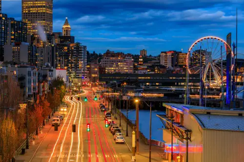
Seattle’s hilly terrain made planning tricky, but city leaders turned that into a tool. By placing public housing and industrial zones in the lowlands and reserving scenic heights for single-family homes, they codified inequality into the landscape. Redlining and racial covenants did the rest, enforcing segregation with both paper and pavement. Even today, transit deserts align eerily well with formerly redlined areas.
Zoning laws kept density out of wealthy neighborhoods under the guise of “preserving character.” Meanwhile, communities of color were crowded into flood-prone or polluted areas. The layout reinforced privilege through elevation and access. In Seattle, what goes up doesn’t always trickle down.
13. Palm Springs, California – The Playground with a Purpose
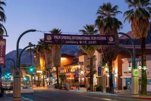
Palm Springs looks like a leisure town, but it was engineered as a strategic retreat. Developed in the mid-20th century as a getaway for Hollywood elites and wealthy retirees, the city was zoned to prioritize privacy, exclusivity, and low-density luxury. Golf courses, gated communities, and boutique resorts weren’t just for fun—they were part of a controlled aesthetic. And the racial covenants? They were real.
Service workers, often Latino or Black, were pushed to the periphery—literally and economically. Even today, strict zoning and historic preservation rules limit affordable housing development. Palm Springs was built to be an oasis for the few, not a home for the many. It’s paradise, but with very firm borders.